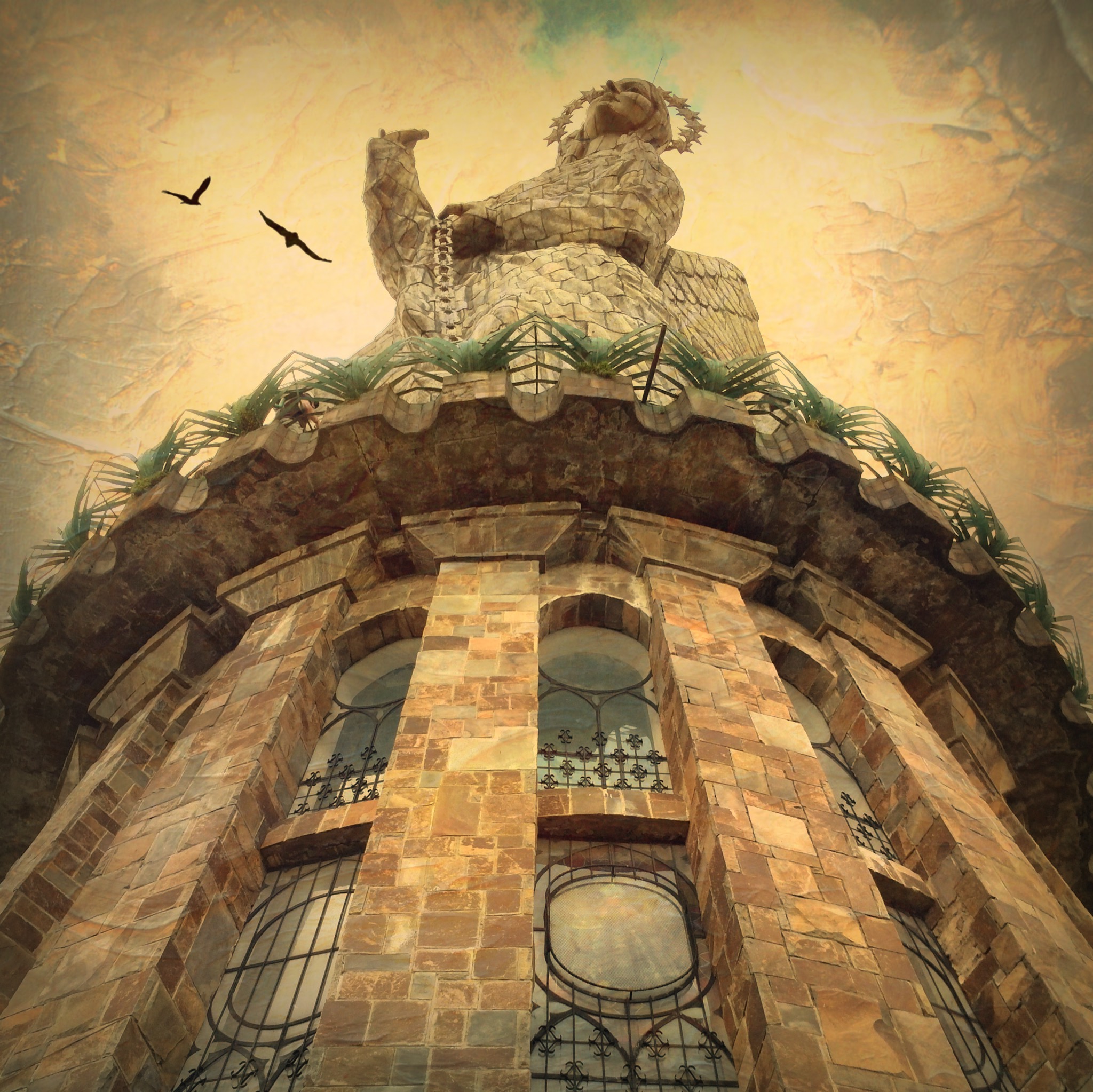
Kinda hard to miss
How do you get lost when a volcano is your navigating landmark? Apparently, it is not as difficult as one would think.
We are big believers in seeing a country by driving a car on your own (or taking a train). There are so many things missed when flying over, or being escorted by a tour. We also bow down at the alter of the GPS (Costa Rica: No Signs Allowed). However, due to my limited Spanish (yes, the GPS was all in Espanol!), the sparce map programming for Ecuador, or just (I fear) my mental capacities – the GPS rented from the car rental company in Cuenca, Ecuador was not as much help to us as expected.
Truth be told, we saw much more of the country than originally planned (much, much more)on our drive along Avenue of the Volcanoes from Cuenca to Banos to Quito. Lucky for us, there were only a few roads that take you through those mountains (and we found them all), or we would probably still be searching for a way out…
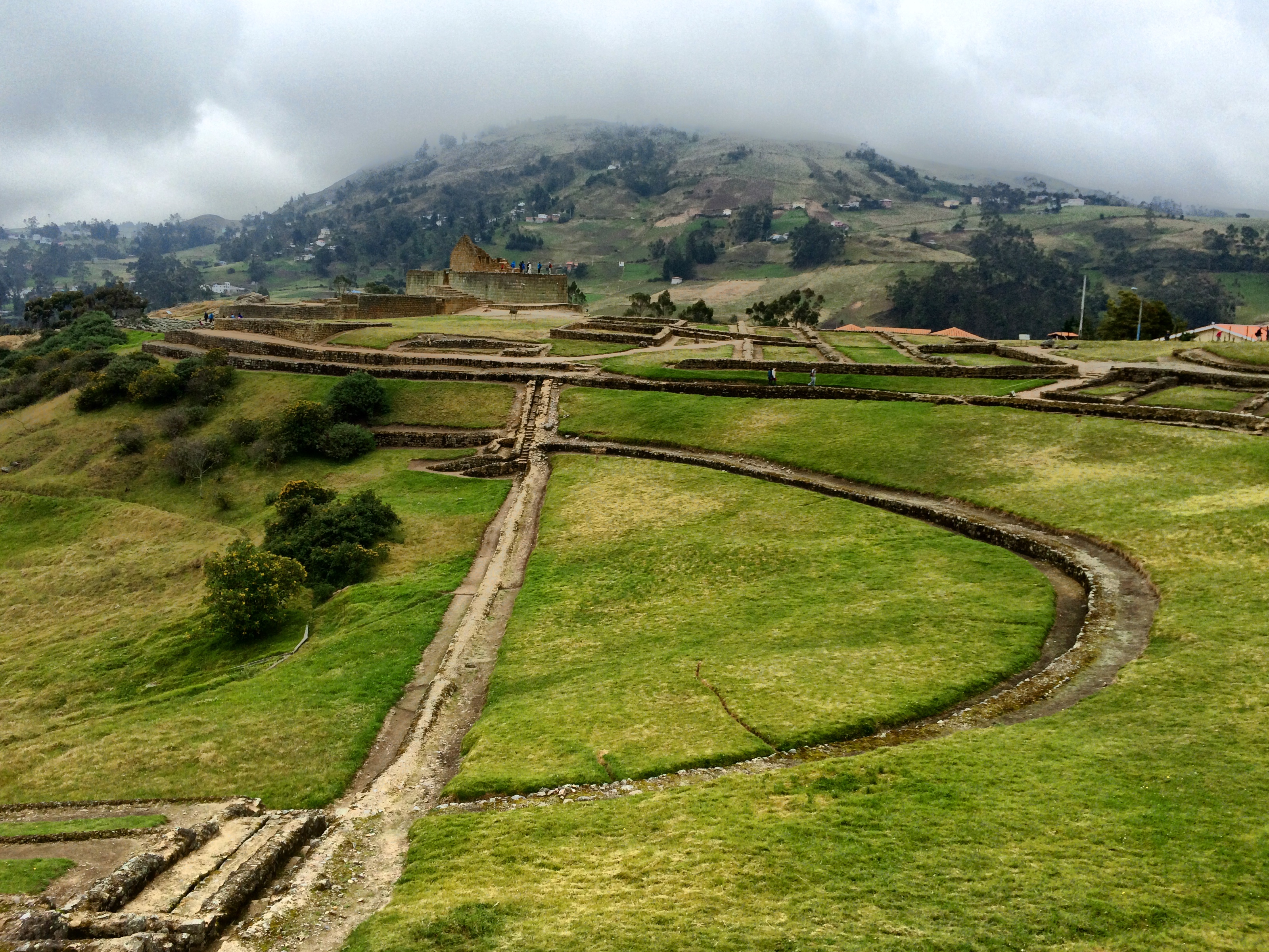
We did manage to locate the Ingaperca Inca Ruins between Cuenca and Banos:
And see some colorful things along the way:

Who needs billboards when there is the side of a house to paint.
We kept driving when it was raining:

I think we go this way…
And took random breaks when it wasn’t.

Anyone for a game of hoops?
Sometimes we drove by the view,

No shortage of cows in Ecuador.
And sometimes, we got out of the car to take in the view:
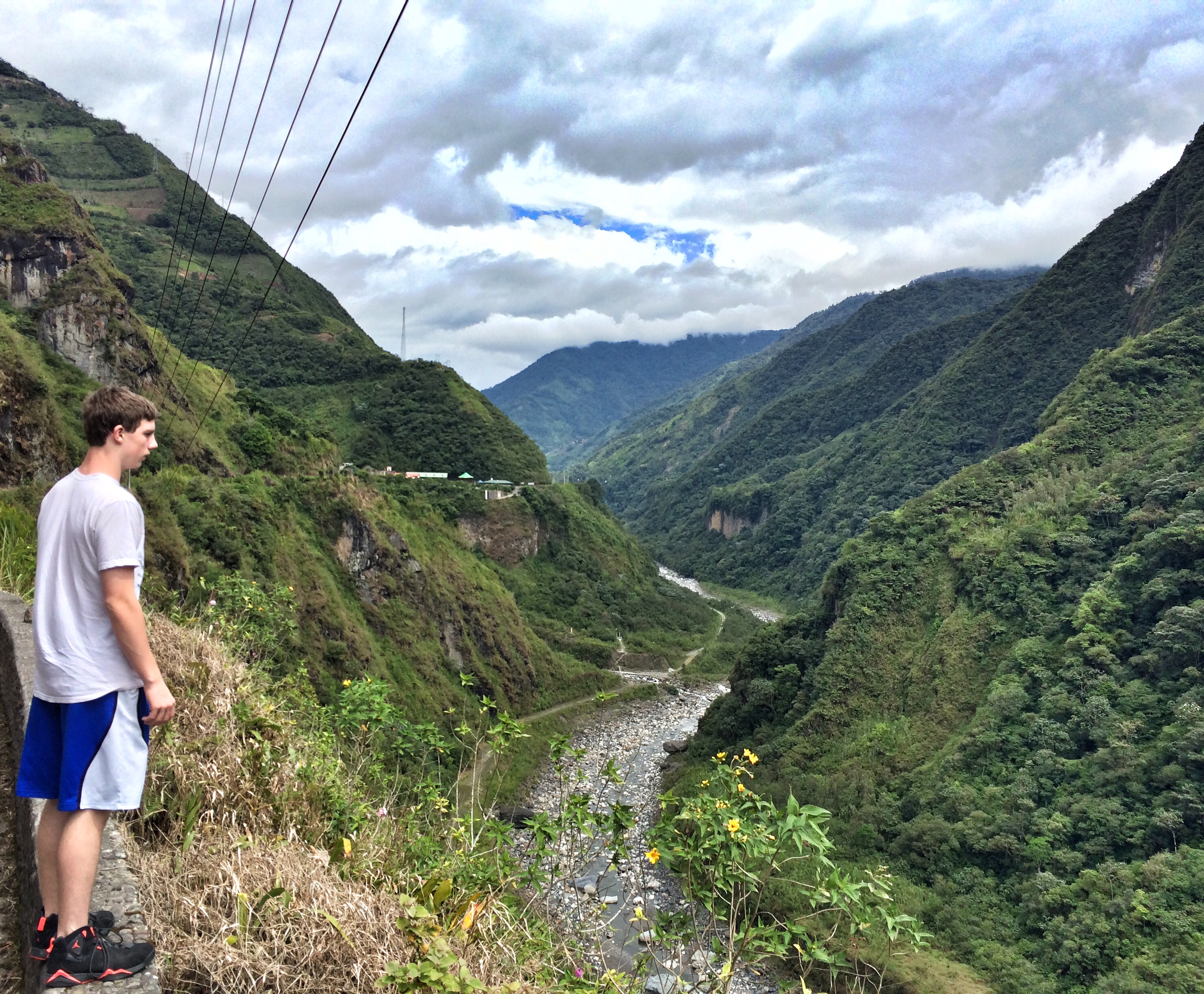
I think it is too far to jump.
And sometimes, we just followed the truck in front of us:
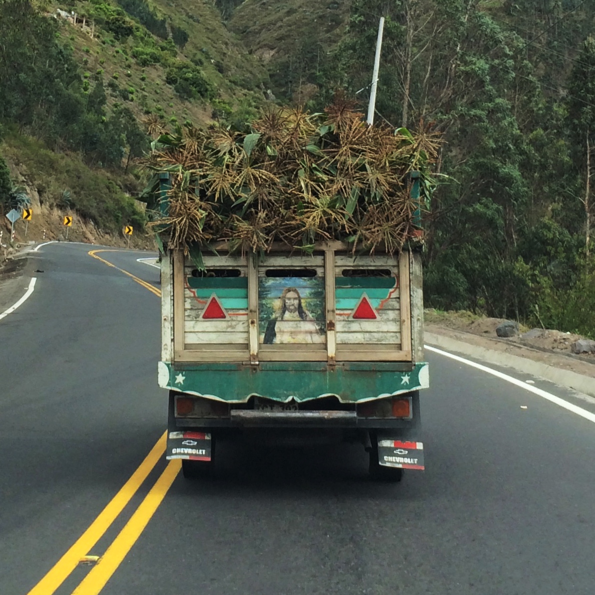
Goin’ my way?
Driving though the rural and mountainous parts of Ecuador, we came away with two impressions: Ecuador is a vastly beautiful country, and those volcanoes may be big, but they do not a navigational tool make.
In the end, we made it to all of our planned destinations…and a few unplanned ones as well.
All in a days travel…
The best days that is.
For other articles on Ecuador:
Ecuador Part 1: Forrest Gump Goes to Quito
Ecuador Part 2: Getting Mobbed and Spit On in Cuenca
Ecuador Part 3: Throwing My Kids Off a Bridge in Banos
For More Sweet Spot Travels: GO HERE